Mapping No. 8
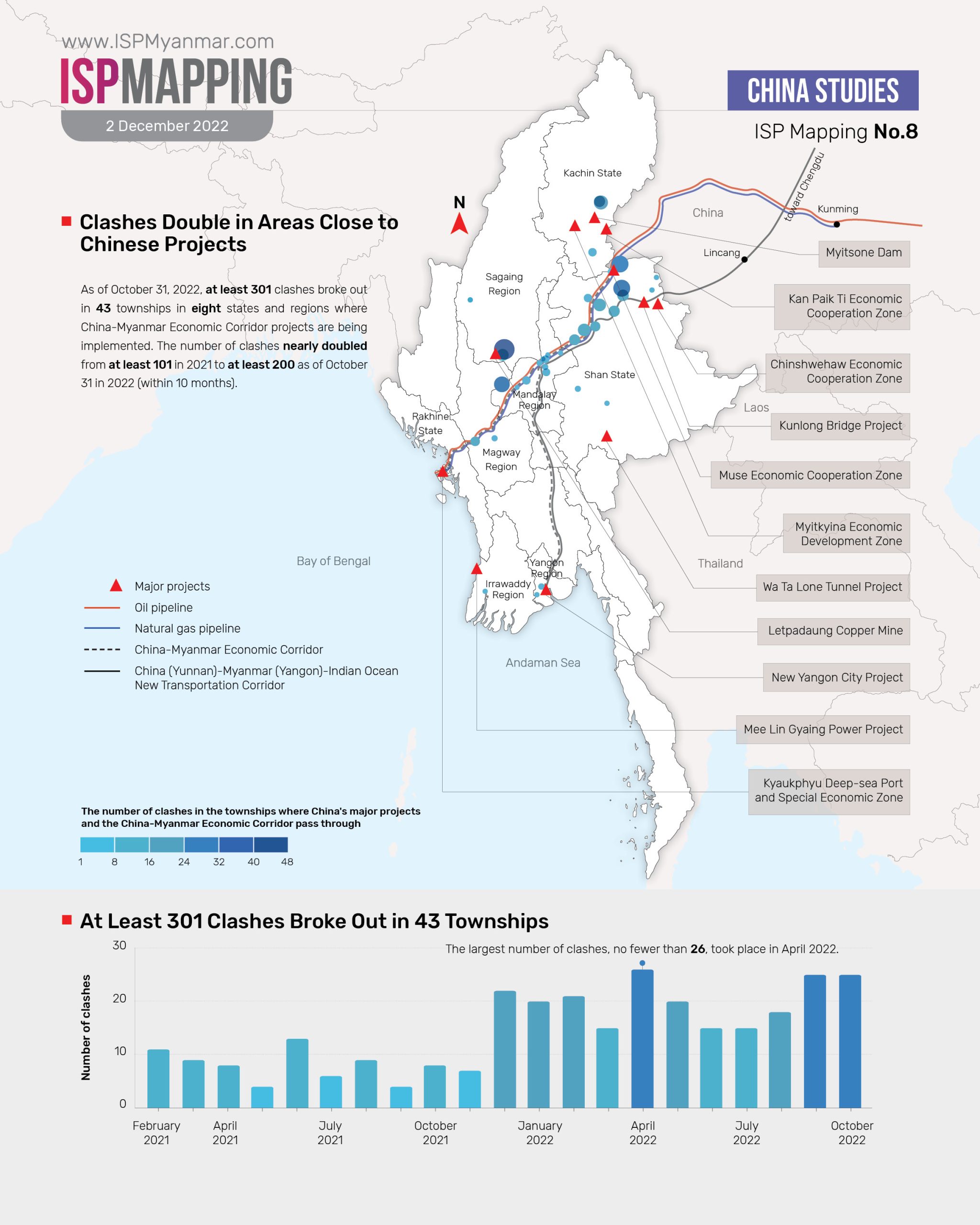
The conflict map of Myanmar has become broader and larger as a result of armed conflicts following the coup. Among more than 7,800 clashes nationwide, at least 300 took place in areas where China’s major projects are located or near China’s potential project areas.
Following the coup, at least 301 clashes took place in 43 townships in eight states and regions hosting China’s potential major projects between February 1, 2021 and October 31, 2022, according to data compiled by ISP-Myanmar. There were more than 100 clashes in 2021, while at least 200 clashes occurred in 2022—nearly double the number in 2021.
More than 75 percent of the more than 100 clashes in 2021 occurred in northern Shan State, which is the crossroads of projects along the China-Myanmar Economic Corridor. During 10 months in 2022, approximately 55 percent of the 200 clashes broke out in townships in central Myanmar including Monywa, Pakokku, Ngape, Natogyi, and Kyaukse. Almost 35 percent during this period broke out in northern Shan State.
There were 75 clashes in 2021 and 68 clashes in 2022 in northern Shan State, a junction on the China (Yunnan) – Myanmar (Yangon) – Indian Ocean rail-road-sea transport corridor, which opened last year. While that corridor is directly connected to the new Guangxi-Yangon maritime trade route that was opened on October 28, the Chinese government has plans to implement the transportation corridor as a new international road and sea corridor connecting landlocked provinces to regional ports.
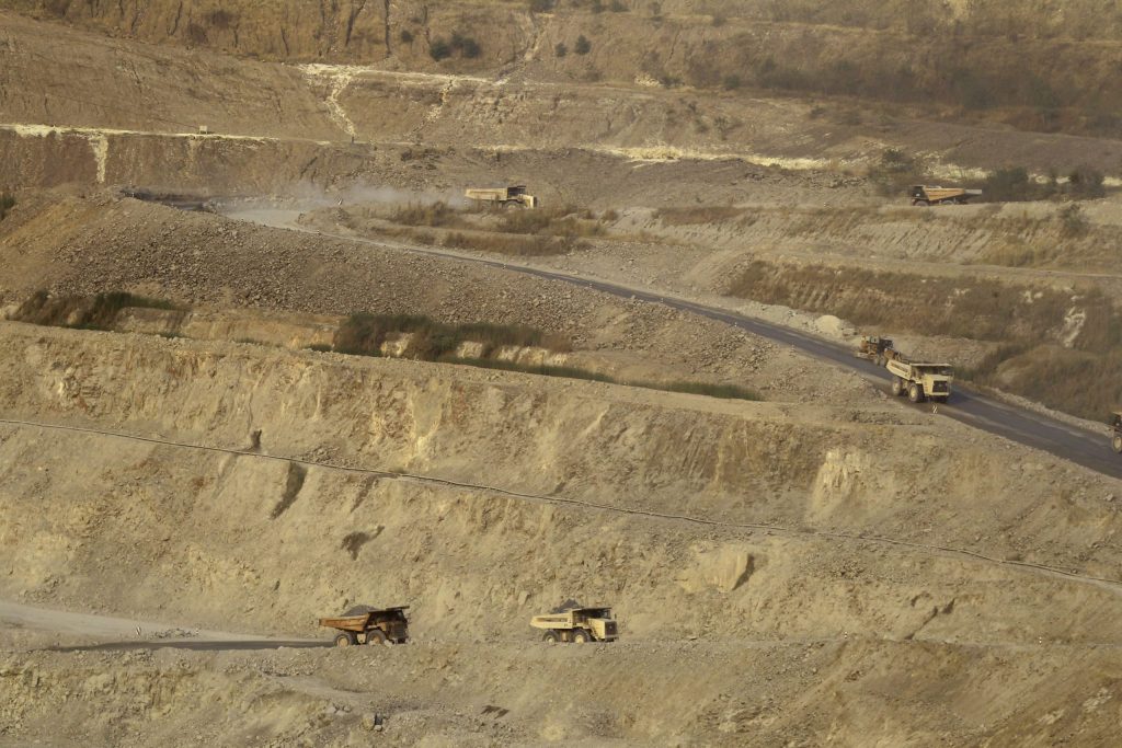
Meanwhile, at least 111 clashes took place in 19 townships where the China-Myanmar oil and natural gas pipeline projects are located. State Administration Council (SAC) forces and local armed resistance forces engaged in no less than 48 clashes in Monywa township, a potential area for the Chindwin waterway development project. Muse, an area for border trade posts, was also the site of 32 clashes between the forces of SAC and ethnic revolutionary organizations (EROs). There were at least twelve clashes in Salingyi township, located near the Letpadaung copper mine.
∎ Why Does It Matter?
China’s perception of its policy toward Myanmar may be greatly impacted by attacks on its major projects in the aftermath of the coup amid widespread armed conflicts throughout the country. In particular, China may alter its perception and response to newly emerging forces. It is crucial to observe carefully whether the military actions of ethnic armed organizations in Shan State, a junction of Chinese projects especially along the economic corridor, and their attempt to gain military and territorial dominance represent China’s power-domination policy or a measure to ensure security. Keeping an eye on the stance and response of newly established local defense forces to Chinese interests is crucial, which could influence China’s policy shift regarding Myanmar.
∎ Other Relevant Readings
The correlation between the armed conflicts following the coup and China’s projects can be examined through coverage of the on-the-ground situation by independent media, local media based in ethnic minority areas, Chinese embassy statements, Chinese media coverage, and the reports and documentation of independent international and local organizations.